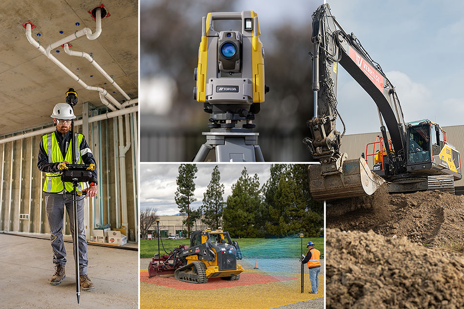
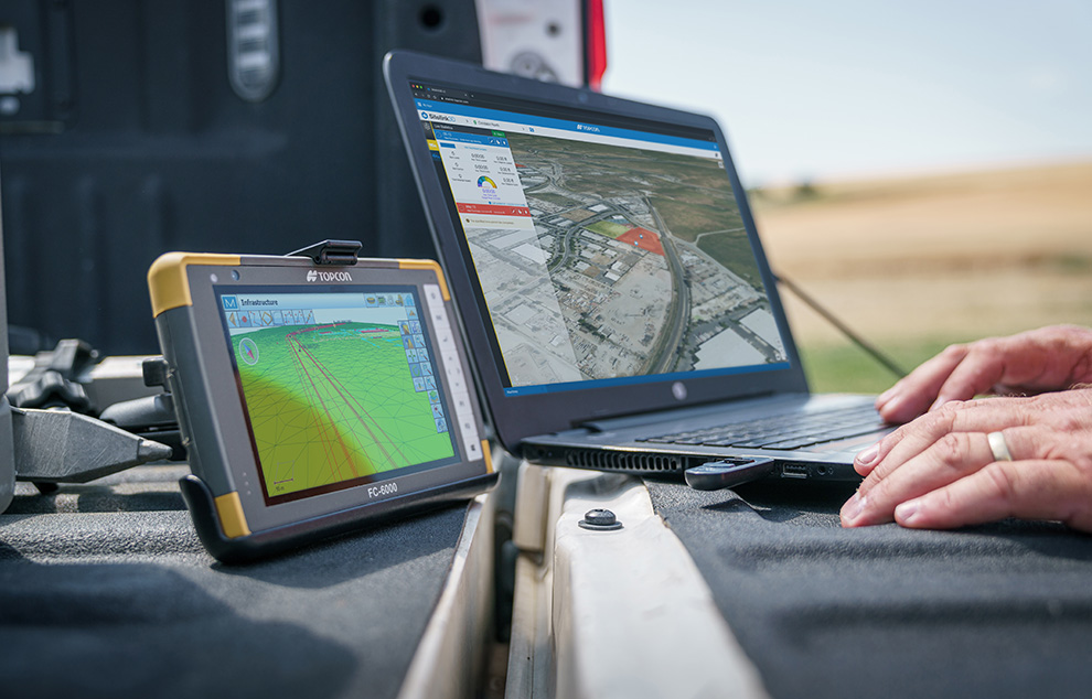
Our range of solutions in mass data capture opens the door to entirely new workflows. Capture data once, quickly, then interrogate the data at your leisure, on your own at your desk. From original topo, to pre-construction inventories, to as-built documentation, our solutions deliver above and beyond the call.
-
Turn your images into powerful data Convert UAV image data into a precise, web-ready, digital twin Topcon ContextCapture, powered by…
Read More
-
The professional mapping drone The senseFly eBee is a fully autonomous and easy-to-use mapping drone. Use it to capture high-resolution…
Read More
-
The advanced agricultural drone The eBee SQ agriculture drone captures actionable crop data across four multispectral bands, plus RGB imagery,…
Read More
-
Map without limits The eBee X is the fixed-wing drone for all your mapping needs. Designed to boost the quality,…
Read More
-
Professional photogrammetry software Pix4Dmapper turns your images into highly precise, georeferenced 2D maps and 3D models. They’re customizable, timely, and…
Read More
-
Point cloud processing made easy Process and combine reality capture and survey data Process, combine and analyze multi-source point cloud…
Read More
-
Publish and share – anytime, anywhere Visualize and collaborate with reality capture data MAGNET Collage Web works seamlessly with MAGNET Collage…
Read More
-
The flying 4K HDR camera that you can take with you everywhere on the go ANAFI is the new generation…
Read More
-
Multipurpose Quadcopter Solution for Agriculture Parrot Bluegrass is a multipurpose quadcopter designed for agriculture. It helps farmers improve their ROI…
Read More