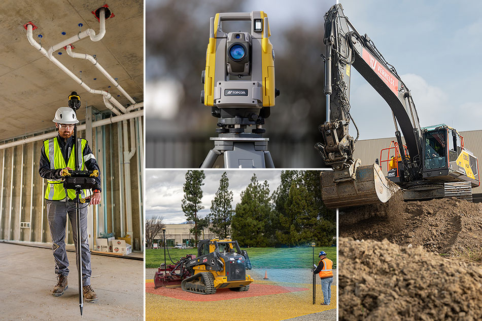


Find the right product for your applications.
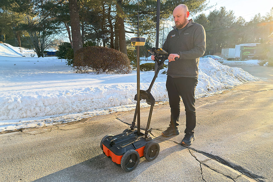
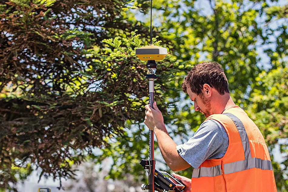
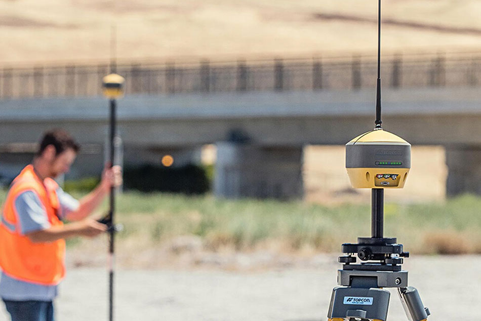
Base stations and rovers for positioning on the move
GNSS receivers are the backbone of any base and rover setup.
Choose from receivers designed for semi-permanent mounting or others that can mount to the top of a tripod or range pole.
Compare products

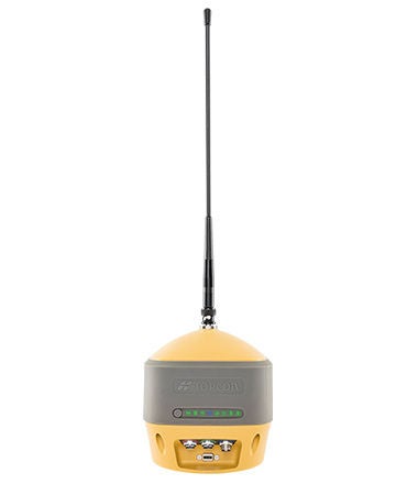
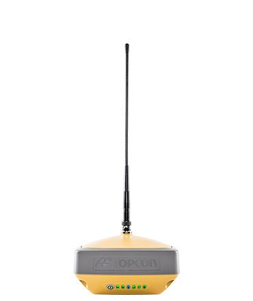
HiPer XR
Description
GNSS receiver with integrated antenna, 4G modem and radio
Ideal use
Measurement, layout, field survey,
grade checking, base or rover,
Hybrid positioning™.
Calibration-free and magnetically
immune IMU TILT.a
Anti-jamming, anti-spoofing
interference monitoring and
mitigation technology.
Constellations tracked
GPS
GLONASS
BeiDou
Galileo
SBAS
QZSS
IRNSS
Communications for corrections (availability varies by region)
UHF radio
FH915 spread spectrum radio
LongLink™
Bluetooth®
4G Cell
Wi-Fi
Hybrid Positioning
Yes
Power sources
Double-internal batteries
USB Power Delivery 5-20 VDC
Operating temperature
-40°C to 65°C
-40°F to 149°F
Dust and water resistance
IP67
Dimensions
139 x 139 x 97 mm
5.47 x 5.47 x 3.82 in.
Weight
995 g
2.19 lb.
HiPer HR
Description
GNSS receiver with integrated
antenna and radio
Ideal use
Measurement, layout, field survey, grade checking, base or rover, Hybrid positioning™, TILT, network caster, monitoring
Constellations tracked
GPS
GLONASS
BeiDou
Galileo
SBAS
QZSS
IRNSS
Communications for corrections (availability varies by region)
UHF radio
FH915+ spread
spectrum radio
LongLink™
Bluetooth®
4G Cell (Europe)
Wi-Fi
L-band
Hybrid Positioning
Yes
Power sources
Internal battery
Hot swappable battery
External supply 9-28 VDC
Operating temperature
-40° C to 65° C
-40° F to 149° F
Dust and water resistance
IP67
Dimensions
115 x 115 x 132 mm
4.53 x 4.53 x 5.20 in.
Weight
1 kg
2.20 lbs
HiPer VR
Description
GNSS receiver with integrated
antenna and radio
Ideal use
Measurement, layout, field survey, grade checking, base or rover, Hybrid positioning™, TILT
Constellations tracked
GPS
GLONASS
BeiDou
Galileo
SBAS
QZSS
IRNSS
Communications for corrections (availability varies by region)
UHF radio
FH915+ spread
spectrum radio
LongLink™
Bluetooth®
4G Cell (Europe)
L-band
Hybrid Positioning
Yes
Power sources
Double-internal batteries
External supply 9-27 VDC
Operating temperature
-40° C to 65° C
-40° F to 149° F
Dust and water resistance
IP67
Dimensions
150 x 150 x 100 mm
5.91 x 5.91 x 3.94 in.
Weight
925 g
2.04 lbs
HiPer CR
Description
Compact
GNSS receiver
Ideal use
Measurement, layout, field survey, grade checking, base or rover, Hybrid Positioning™
Constellations tracked
GPS
GLONASS
BeiDou
Galileo
SBAS
QZSS
Communications for corrections (availability varies by region)
LongLink™ Bluetooth®
Bluetooth® low energy (BLE)
Hybrid Positioning
Yes
Power sources
Internal battery
External supply 9-27 VDC
Operating temperature
-40° C to 60° C
-40° F to 140° F
Dust and water resistance
IP67
Dimensions
47 x 47 x 19.7 mm
1.9 x 1.9 x 7.8 in.
Weight
440 g
0.97 lbs
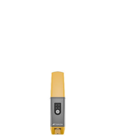
GCX3
Description
RTK (Real Time Kinematic)
GNSS receiver
Ideal use
Measurement, layout, field survey, grade checking, base or rover, Hybrid Positioning™
Constellations tracked
GPS
GLONASS
BeiDou
Galileo
SBAS
QZSS
Communications for corrections (availability varies by region)
Bluetooth® Modem
RTK communication
Hybrid Positioning
Yes
Power sources
Internal battery
Operating temperature
-20°C to 63°C
-40°C to 63°C
Dust and water resistance
IP67
Dimensions
47 x 197 x 47 mm
Weight
440 g

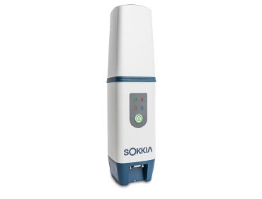
HiPer SR
Description
GNSS receiver
Ideal use
Measurement, layout, field survey, grade checking, base or rover, Hybrid positioning™
Constellations tracked
GPS
GLONASS
Communications for corrections (availability varies by region)
LongLink™
Bluetooth®
Hybrid Positioning
Yes
Power sources
Internal battery
Operating temperature
-40°C to 63°C
-40°F to 145°F
Dust and water resistance
IP67
Dimensions
150 x 64 mm
5.9 x 2.52 in.
Weight
850 g
1.87 lbs

Establish a solid base for your network
NET-G5 or MR-2 receivers can be used with an external GNSS antenna to create a continuously operating local base station.
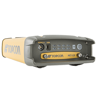
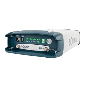
NET-G5
Description
Modular receiver
Ideal use
Continuously operating reference station (CORS),
local base station, network caster
Constellations tracked
GPS
GLONASS
BeiDou
Galileo
SBAS
QZSS
IRNSS
Communications for corrections (Availability varies by region)
External radio ports Ethernet WI-FI L-band
Battery
Internal battery
Operating temperature
-40°C to 80°C
Dust and water resistance
IP67
Dimensions
40 mm x 55 mm x 10 mm
Weight
< 2 kg
GNR5
Description
Modular receiver
Ideal use
Infrastructure network receivers, permanent reference stations, field (mobile) base stations and reference stations for scientific analysis
Constellations tracked
GPS
GLONASS
BeiDou
Galileo
SBAS
QZSS
Communications for corrections (Availability varies by region)
External radio ports Ethernet WI-FI L-band
Battery
Internal battery
Operating temperature
-40°C to 80°C
Dust and water resistance
IP67
Dimensions
150 x 200 x 60 mm
Weight
< 2 kg
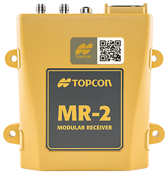
MR-2
Description
Modular receiver
Ideal use
Local base station, i.e. for
larger construction sites
Constellations tracked
GPS
GLONASS
BeiDou
Galileo
SBAS
QZSS
IRNSS
Communications for corrections (Availability varies by region)
External radio ports Ethernet L-band
Battery
---
Operating temperature
-40°C to 80°C
Dust and water resistance
IP67
Dimensions
40 mm x 55 mm x 10 mm
Weight
0.95 kg
Boost RTK connectivity and performance
Topcon Relay is a GNSS correction service that extends RTK (Real-time Kinematic) coverage using cellular connectivity. It is designed for situations where traditional broadcasting methods are not feasible, enabling efficient RTK correction for up to 10 rovers from a single base, while doubling the broadcast distance.

Related offerings


Get in touch
Thank you! We will be in touch.