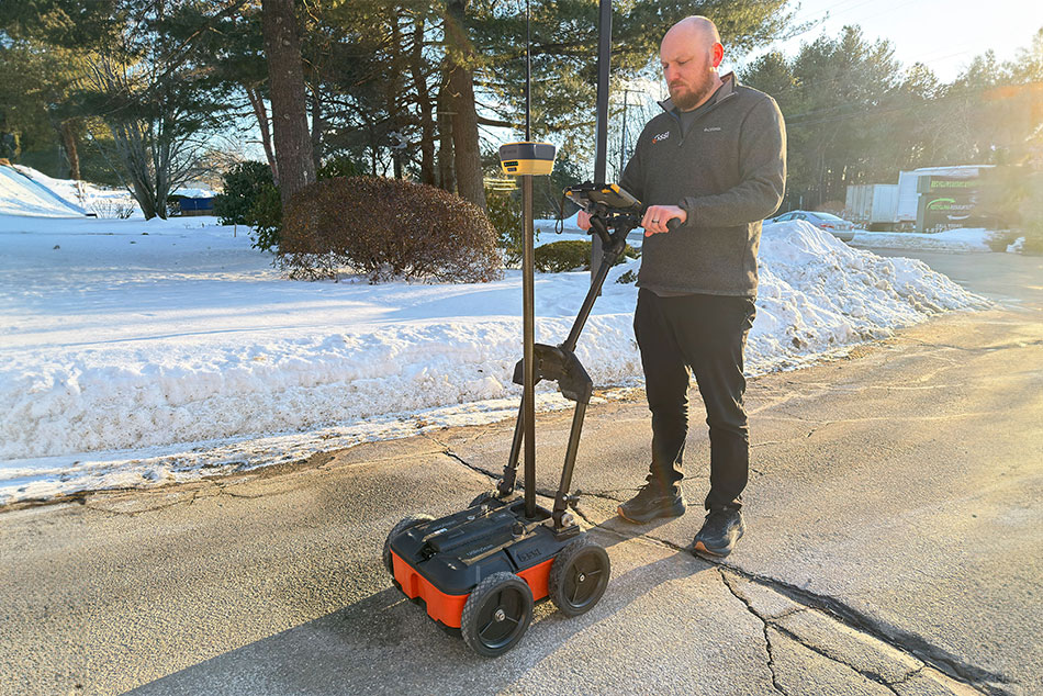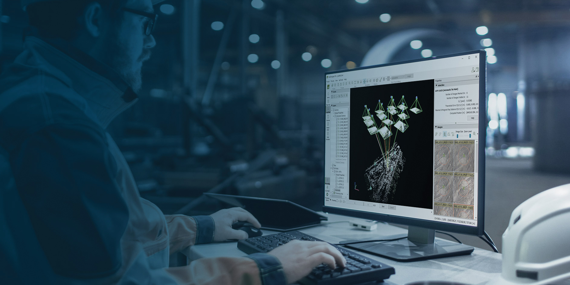
PIX4Dmapper transforms your images into accurate and georeferenced digital spatial models with sub-centimeter accuracy. Using a desktop computer or PIX4Dcloud, automatically convert images taken by drone, by hand, or by plane into highly precise 2D maps and 3D models. These outputs are customizable, timely, and complement a wide range of applications and software across industries.
Professional Photogrammetry Software
Features Include
Automatic point cloud classification
Flatten & smoothen digital surfaces
Easily measure surface, distance & volume
Get the most out of PIX4D
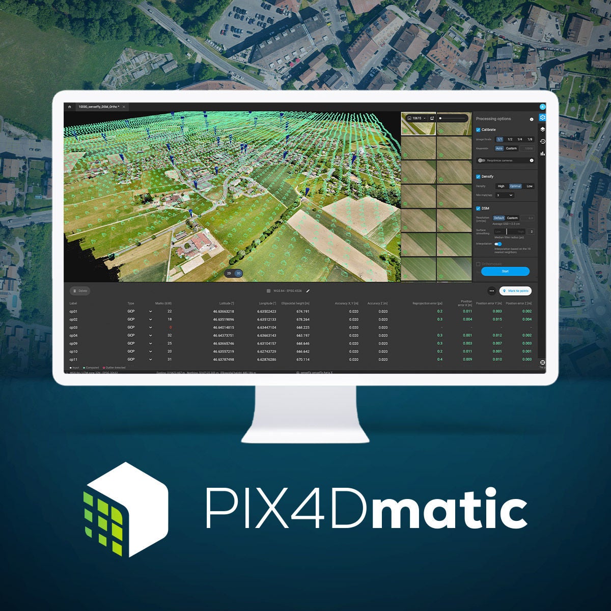
PIX4Dmatic is optimized for accurate and fast photogrammetric processing for large scale, corridor and terrestrial projects.
- Terrestrial workflow (option to merge with drone data)
- Fully automated processing
- Bigger datasets, accurate results

PIX4Dsurvey bridges the gap between photogrammetry and CAD and allows you to seamlessly import PIX4Dmapper and PIX4Dmatic projects.
- Vectorize anything
- CAD ready
- Volume measurements

The online platform for ground and drone mapping, progress tracking, and site documentation.
- Easy to use
- Efficient collaboration
- Up-to-date documentation

Advanced agriculture mapping software for aerial crop analysis and digital farming.
- In -field or in-office
- Fast & accurate insights
- Easy sharing
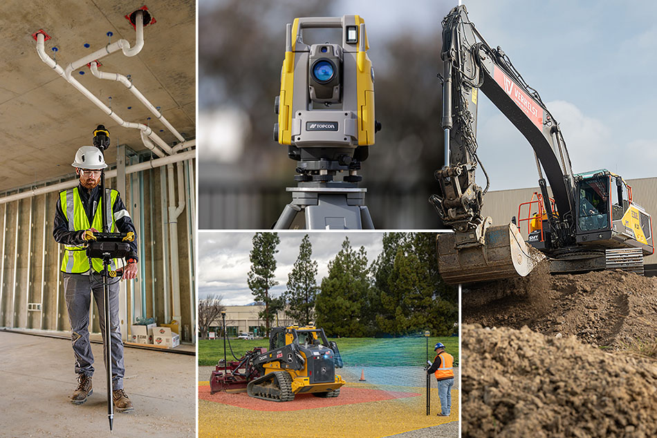
Related products


Get in touch
Thank you! We will be in touch.