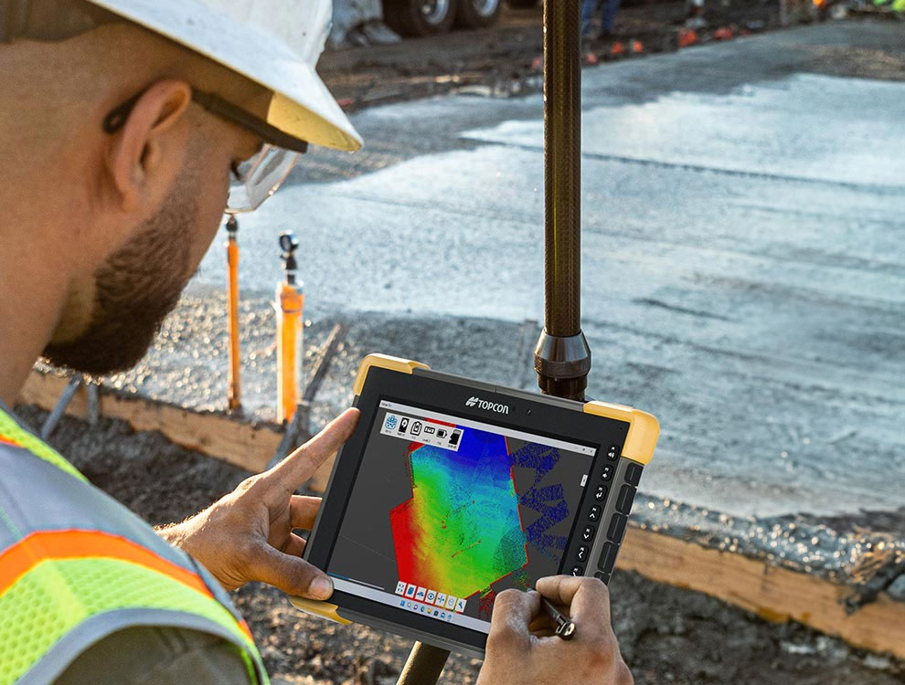
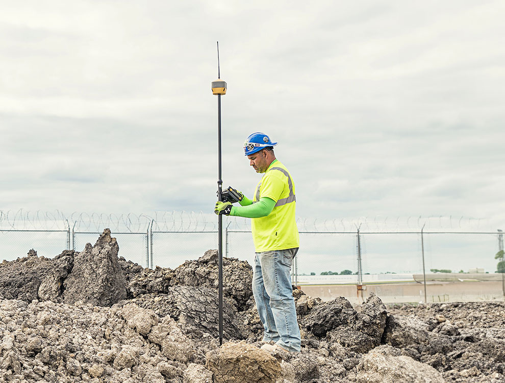
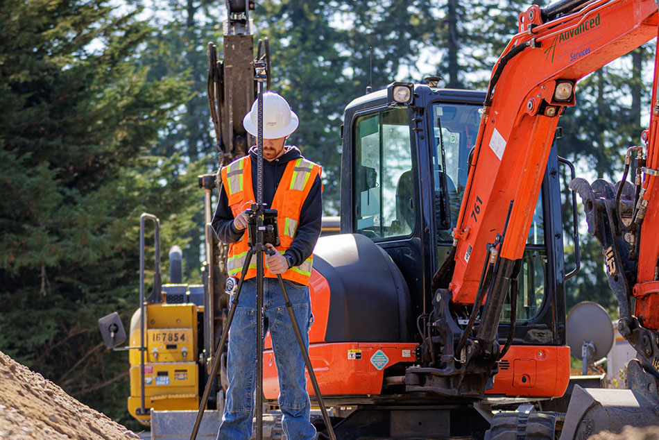
Pocket 3D is all about boosting job site productivity. Once your crew has full site visibility, with constant cut-fill information, and the ability to capture any measurement, and perform fast easy topo surfaces, there is almost no end to how they can apply these capabilities on a busy job site. Verify bid specifications, set out grade stakes, collect as-built for water valves, collect progress data, perform quality control, and on and on.
Three dimensional grade management made easy
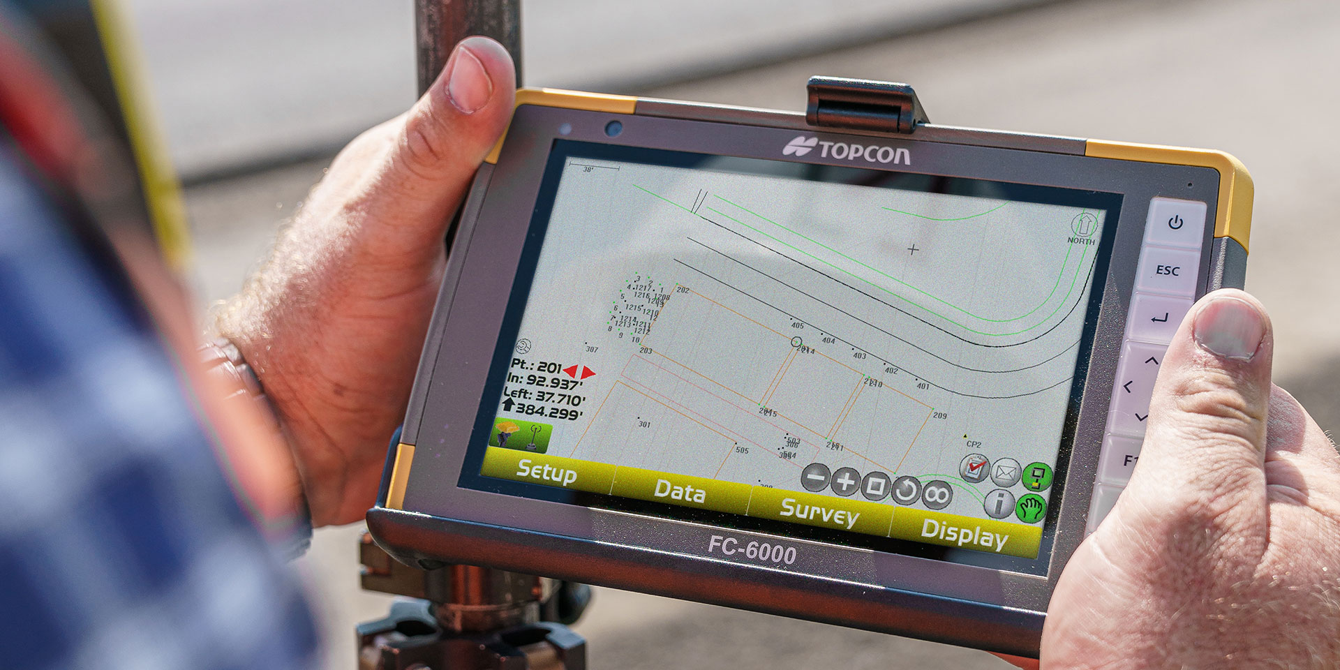
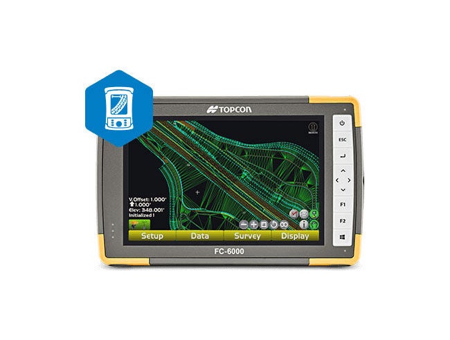
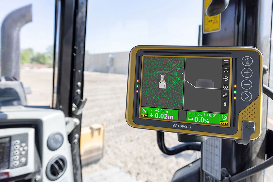
Pocket 3D puts the power of GNSS-based site management in the hands of contractors, making it easy to verify grades, calculate volumes and survey any area on the site. Now you can have the visibility and power to increase productivity across the entire job.
Real world productivity in your pocket
Connecting field and office in real-time
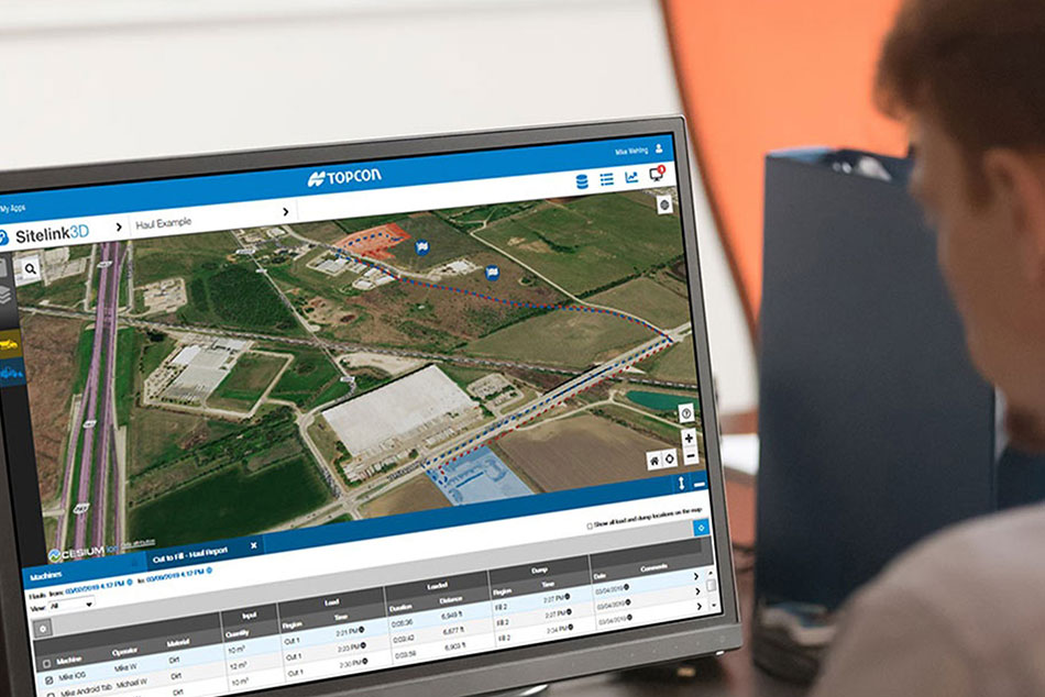
Pocket 3D is also Sitelink3D-ready. Every GNSS rover in the field can be in direct two-way communication with every other team member in the system, with data, text and files. Site plan changes, localizations, crew management, and much more become instantaneous. And from the office, your crew leaders can be in constant contact with you.
Related offerings
Get in touch
Thank you! We will be in touch.