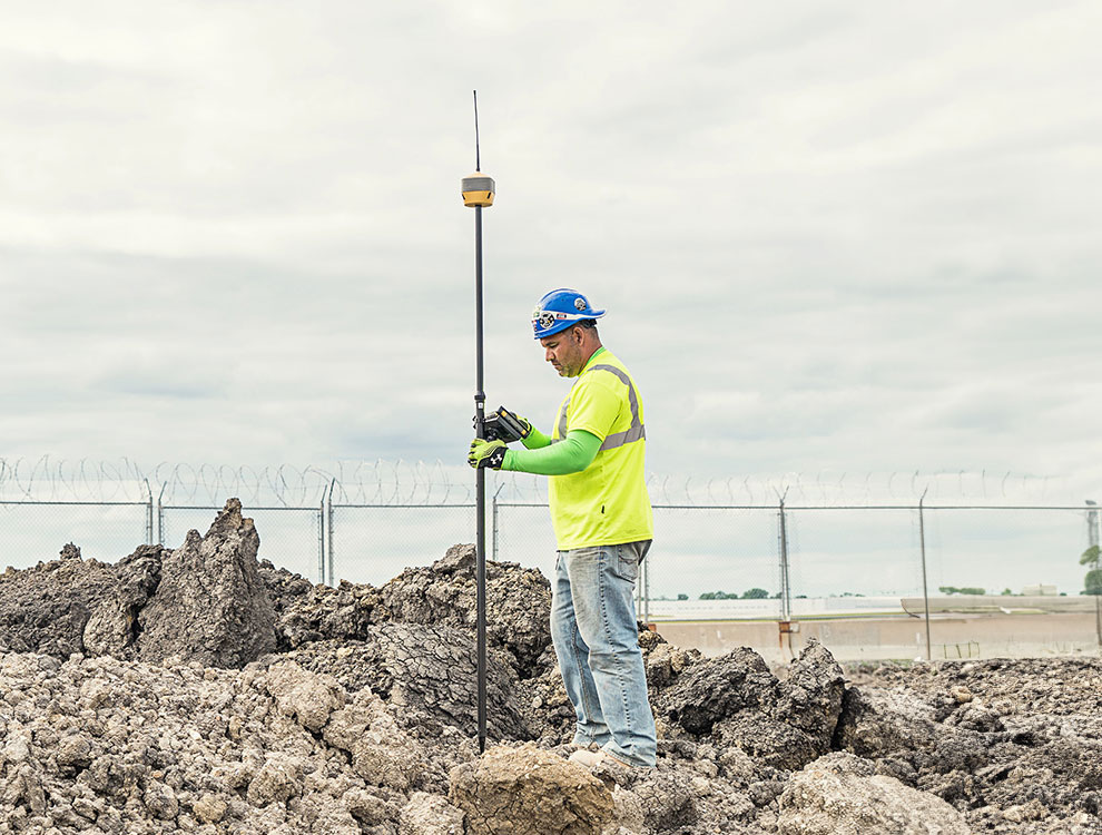
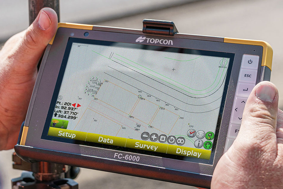
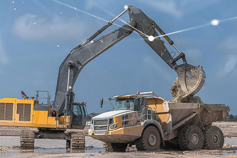
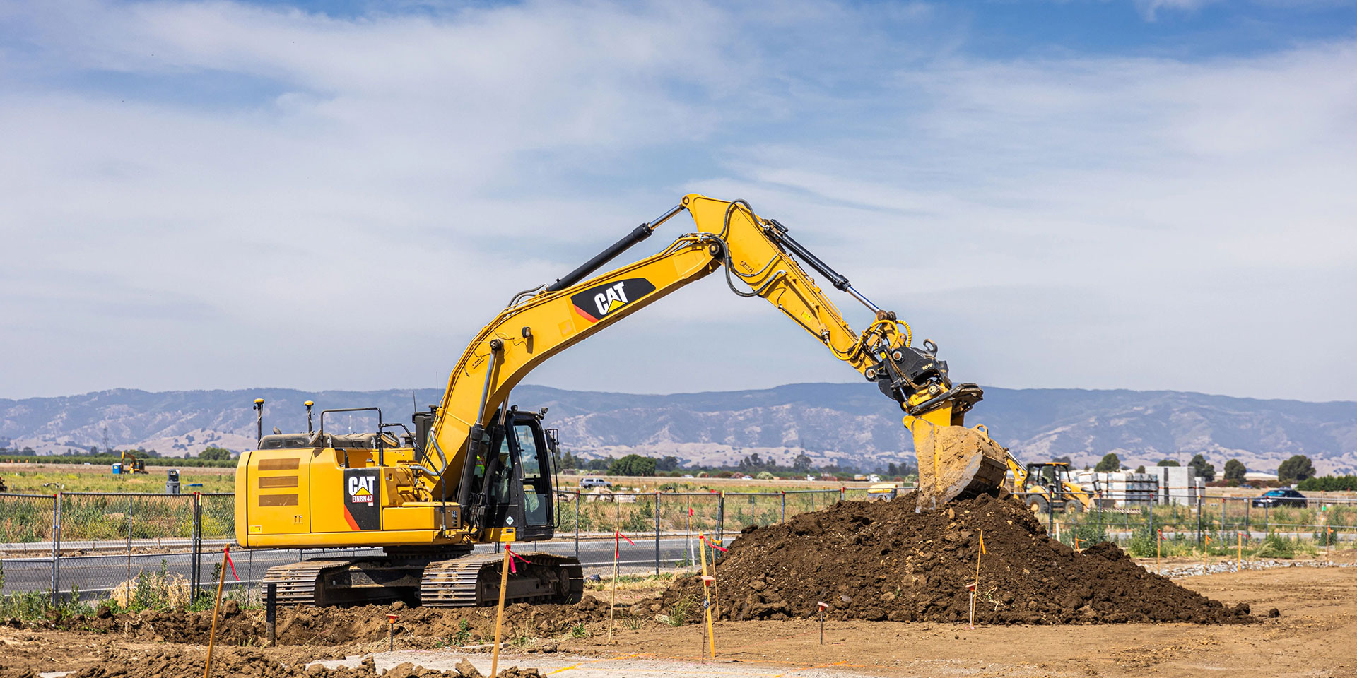
Based on Topcon's MC-X machine control Platform, and backed by Sitelink3D — the company’s real-time, cloud-based data management ecosystem — MC-Max is a scalable solution for mixed-fleet heavy equipment environments. It is designed to adapt to owners’ machine control and data integration needs as their fleets and workflows expand. MC-Max Excavator does just that by letting operators configure their setups to match the needs of the day.
No two excavating jobs are the same. Why should you be stuck with one setup for your excavator?
MC-Max Excavator powered by the MC-X Platform keeps you in the cab and in control with the right configuration for whatever your projects throw at you.
Operating an excavator can be exhausting on its own but waiting for others can add delays and fatigue. What if your excavator could be part surveyor, part operator and part grade checker?
MC-Max Excavator can be set up to use its bucket to take topo shots, put in automatic control mode to implement designs like a veteran operator and constantly check its own grade work, keeping human grade checkers safely out of trenches and working on other tasks.
If you just want an indication of bucket-depth in relation to grade, a 2D solution will provide the guidance you need and the freedom to dig on your terms. On the other hand, if you need to precisely know your grade and where on the site you are positioned, putting MC-Max in 3D automatic-mode will keep you on-grade and tracking the design file without over- or under-excavating.
Digging a trench alongside an open highway may allow you unobstructed satellite-access needed for GNSS guidance. Excavating an underground parking garage in an urban center may require using robotic total stations for your positioning and machine control needs, if tall buildings and infrastructure make GPS an impossibility. MC-Max makes quick work of switching guidance modes to suit your situation.
The X-53 excavator system simultaneously delivers position and grade guidance. The system constantly interacts with available GNSS constellations to track the excavator’s position on the planet, while sensors track the bucket’s relation to the target grade.
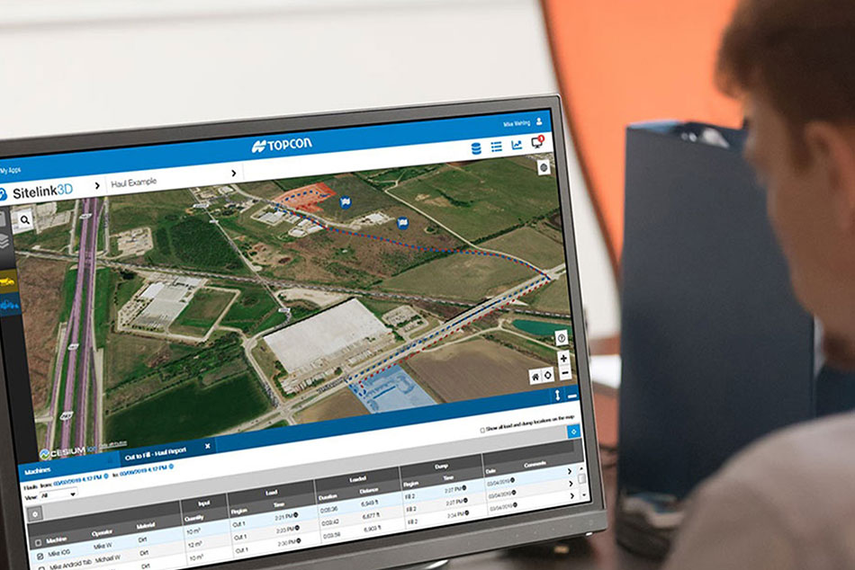
3DMC software provides the operator with the information they need to control the machine, work around structures, or make complex cuts or blind excavations.